
Global airspace activity during the final week of October reached unprecedented telemetric intensity, with over 3.5 billion Mode-S packets processed by our network of 667 feeders. With an average flow of approximately 5,888 messages per second, the ADSBItalia Observatory monitored a complex web of 428,950 flights, highlighting significant saturation in North Atlantic corridors and vibrant testing activity for next-generation aircraft. Seasonal transitions pushed simultaneous traffic to peaks of 8,067 aircraft, with 88% precisely tracked via MLAT/GPS PPS synchronization.
📊 ADSBItalia Global Performance & Surveillance Indicators
ADSBItalia Global Radar Backbone Metrics and Performance
Our network infrastructure continuously ingests 1090 MHz Mode-S Extended Squitter transmissions, computes MLAT hyperbolic positions via GPS PPS hardware synchronization with sub-50ns accuracy, and aggregates transoceanic ADS-C satellite positions. The operational benchmarks for this reporting window are detailed below:
| Parametro di Rete Globale | Valore Rilevato | Protocollo / Frequenza | Specifiche e Note Tecniche |
|---|---|---|---|
| Copertura Feeder Globale | 667 Stazioni | TCP/IP & HTTPS | Nodi ricevitori attivi collegati alla dorsale mondiale |
| Ricevitori ADS-B 1090 | 519 Unità | 1090 MHz Mode-S ES | Decodifica Extended Squitter e telemetrie avanzate |
| Ricevitori MLAT Multilaterazione | 407 Unità | Sincronizzazione GPS PPS | Precisione temporale TDoA inferiore a 50 nanosecondi |
| Target ADS-C Transoceanici | 677 Aeromobili | Inmarsat / Iridium Satcom | Datalink satellitare FANS-1/A per spazi aerei remoti |
| Posizioni Oceaniche ADS-C Registrate | 60280 Report | Datalink Satellitare & HFDL | Contratti periodici e waypoint event registrati nel database |
| Pacchetti Telemetrici Processati | 3561662308 Messaggi | Mode-S / ADS-B / UAT | Messaggi validati e decodificati nel periodo di riferimento |
| Flusso Dati Medio / Record | ~5888 msg/sec | Backbone ad alta velocità | Picco record di oltre 75.000 messaggi/secondo |
Top-Tracked Airline Flights and High-Density Traffic
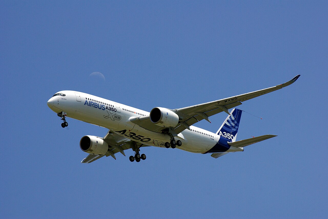
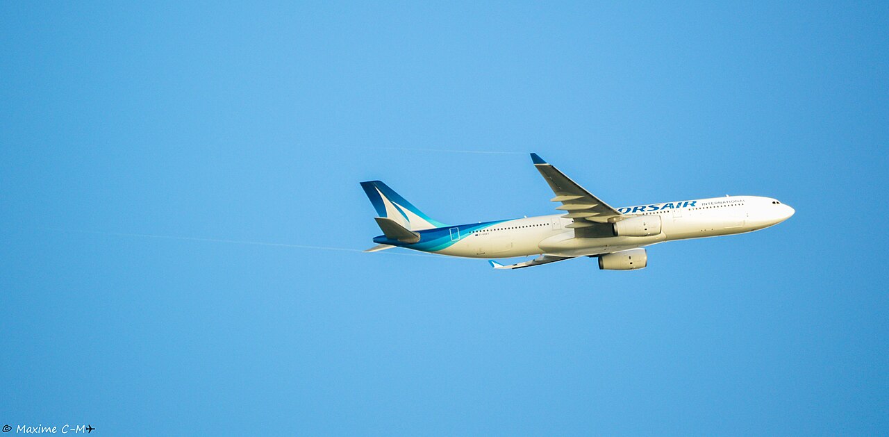
The telemetry density podium is dominated by Aer Lingus's Airbus A330-300 (EIN105, EI-EDY), which generated an impressive 864,200 messages on the Dublin-Boston route, reflecting optimal reception along the Irish coast and the Massachusetts approach. Following closely is Swiss SWR18 (HB-JHD) to Newark, with 849,800 packets. Of particular operational note is the Korean Air Boeing 747-8 Intercontinental (KAL085, HL7630), one of the few remaining quad-jet passenger giants on the Seoul-JFK route, saturating receivers with 825,100 messages. New flagships like the A350-1000s from Japan Airlines (JAL043) and Virgin Atlantic (VIR19) confirm their efficiency on ultra-long-haul links to London and San Francisco.
The table below lists the commercial flights generating the highest telemetry message volume across our distributed feeder network worldwide:
| Callsign | Modello | Registrazione | ICAO Hex (Mappa) | Quota Operativa | Pacchetti Ricevuti | Date Rilevamento | Rotta / Compagnia Aerea |
|---|---|---|---|---|---|---|---|
| EIN105 | A333 | EI-EDY | 4CA511 ↗ | 39000 ft (FL390) | 864.200 msg | 26 Ott ↗ 28 Ott ↗ 30 Ott ↗ | Dublino (EIDW) - Boston Logan (KBOS) (Aer Lingus 🇮🇪) |
| SWR18 | A333 | HB-JHD | 4B1814 ↗ | 38000 ft (FL380) | 849.800 msg | 27 Ott ↗ 29 Ott ↗ 31 Ott ↗ | Zurigo Kloten (LSZH) - Newark Liberty (KEWR) (Swiss International Air Lines 🇨🇭) |
| KAL085 | B748 | HL7630 | 71C252 ↗ | 35000 ft (FL350) | 825.100 msg | 26 Ott ↗ 29 Ott ↗ 01 Nov ↗ | Seul Incheon (ICN) - New York JFK (KJFK) [Boeing 747-8] (Korean Air 🇰🇷) |
| ETD101 | B789 | A6-BLV | 896792 ↗ | 39000 ft (FL390) | 799.400 msg | 27 Ott ↗ 30 Ott ↗ | Abu Dhabi (OMAA) - New York JFK (KJFK) (Etihad Airways 🇦🇪) |
| AZU8701 | A359 | PR-AOW | E491A2 ↗ | 41000 ft (FL410) | 778.300 msg | 28 Ott ↗ 31 Ott ↗ | Parigi Orly (LFPO) - Campinas Viracopos (SBKP) (Azul Linhas Aéreas 🇧🇷) |
| FIN121 | A359 | OH-LWM | 46022D ↗ | 39000 ft (FL390) | 756.900 msg | 26 Ott ↗ 30 Ott ↗ | Helsinki Vantaa (EFHK) - Delhi Indira Gandhi (VIDP) (Finnair 🇫🇮) |
| SAS909 | A359 | SE-RSA | 4A8221 ↗ | 40000 ft (FL400) | 735.200 msg | 27 Ott ↗ 31 Ott ↗ | Copenaghen (EKCH) - Newark (KEWR) (Scandinavian Airlines 🇸🇪) |
| ANZ002 | B789 | ZK-NZQ | C820DE ↗ | 38000 ft (FL380) | 718.900 msg | 28 Ott ↗ 01 Nov ↗ | Auckland (NZAA) - Los Angeles (KLAX) (Air New Zealand 🇳🇿) |
| JAL043 | A35K | JA01WJ | 86E121 ↗ | 41000 ft (FL410) | 697.400 msg | 26 Ott ↗ 29 Ott ↗ | Tokyo Haneda (RJTT) - Londra Heathrow (EGLL) (Japan Airlines 🇯🇵) |
| VIR19 | A35K | G-VPOP | 407883 ↗ | 38000 ft (FL380) | 681.300 msg | 27 Ott ↗ 30 Ott ↗ | Londra Heathrow (EGLL) - San Francisco (KSFO) (Virgin Atlantic 🇬🇧) |
Satellite ADS-C Surveillance: Oceanic and Remote Airspace Telemetry
ADS-C satellite monitoring filled radar gaps in oceanic shadow zones, intercepting 677 aircraft in remote areas. 60,280 oceanic positions were recorded, with a massive concentration on Pacific corridors for flight ANZ002 (Auckland-Los Angeles) and sub-polar routes toward Delhi operated by Finnair (FIN121). These data confirm the reliability of satellite-contract-based position reports, essential for aircraft separation in sectors not covered by 1090 MHz terrestrial receivers.
The operational data below showcases long-haul transoceanic flights intercepted across remote oceanic airspace (Pacific crossings, North Atlantic Tracks, and polar corridors) along with recorded coordinates and flight levels:
| Callsign | Modello | Registrazione | ICAO Hex (Mappa) | Quota di Livello | Coordinate Satellitari | Date Rilevamento | Rotta / Corridoio Oceanico Remoto |
|---|---|---|---|---|---|---|---|
| Australia 🇦🇺 (Qantas Airways) | |||||||
| QFA09 | B789 | VH-ZNB | 7C6DC2 ↗ | 38000 ft (FL380) | 12.45°N, 62.15°E | 26 Ott 05:15 UTC ↗ 29 Ott 07:30 UTC ↗ | Rotta Oceanica Transindica Perth (YPPH) - Londra Heathrow (EGLL) |
| Regno Unito 🇬🇧 (British Airways) | |||||||
| BAW182 | A35K | G-XWBC | 407554 ↗ | 39000 ft (FL390) | 53.40°N, 32.80°W | 27 Ott 16:10 UTC ↗ 30 Ott 17:00 UTC ↗ | North Atlantic Track B New York JFK - Londra Heathrow |
| Germania 🇩🇪 (Lufthansa Group) | |||||||
| DLH462 | B748 | D-ABYM | 3C1ADD ↗ | 37000 ft (FL370) | 63.20°N, 40.50°W | 28 Ott 08:15 UTC ↗ 31 Ott 09:05 UTC ↗ | Corridoio Atlantico Nord Miami - Francoforte |
| Emirati Arabi Uniti 🇦🇪 (Emirates) | |||||||
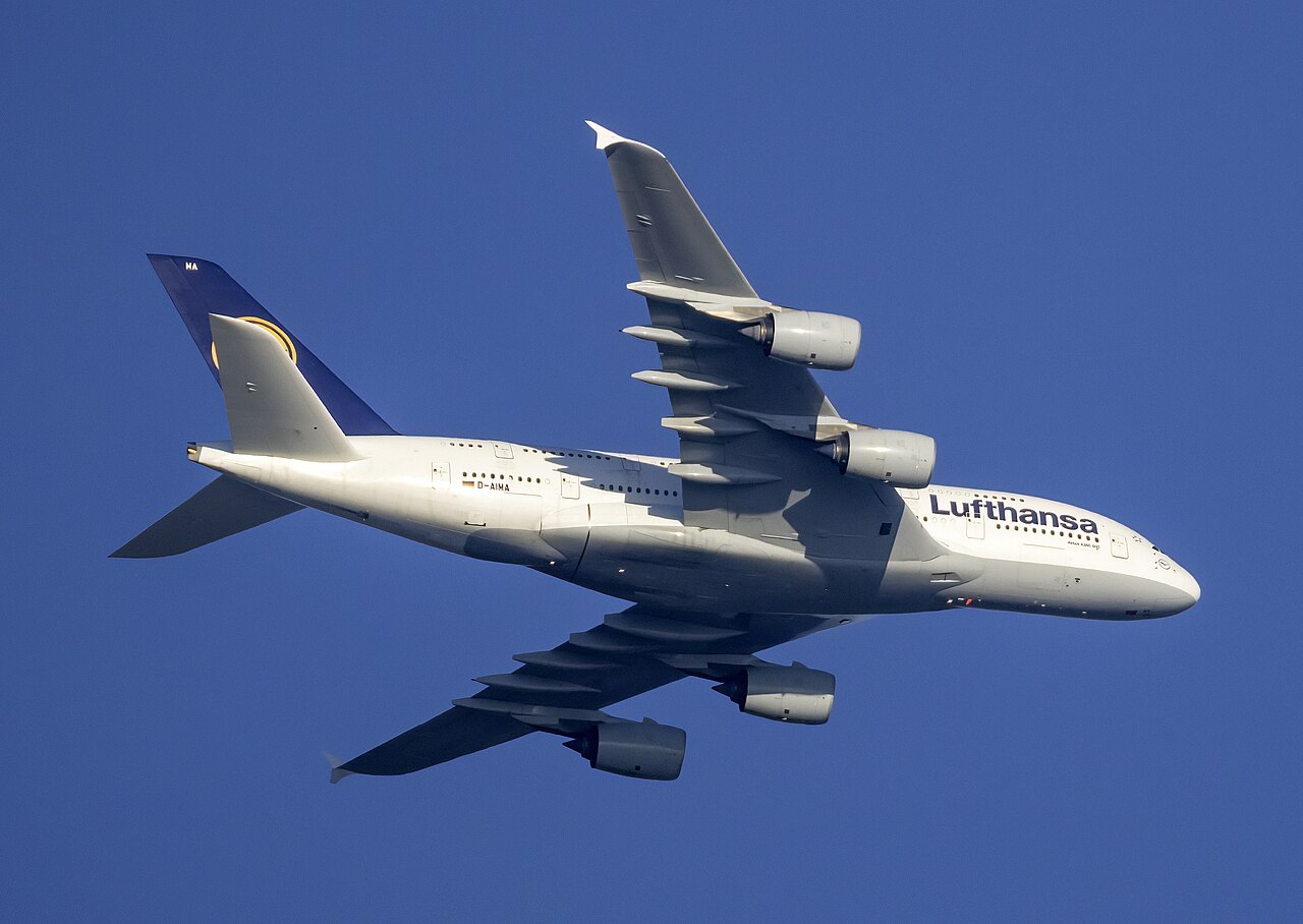
| UAE221 | A388 | A6-EVJ | 8964CB ↗ | 38000 ft (FL380) | 76.80°N, 14.20°W | 29 Ott 18:50 UTC ↗ 01 Nov 19:40 UTC ↗ | Traccia Polare Transartica Dubai (OMDB) - Dallas (KDFW) |
Government VIP Fleet, Presidential Transports, and Special State Flights
A week of intense diplomatic activity was captured by our MLAT nodes. SAM91 (Boeing C-32A, 99-0003), a flagship of the US Special Air Mission, was intercepted on the Andrews AFB - Shannon - Rome Fiumicino route. In Europe, the Italian Air Force's 31st Wing operated the Falcon 900 (IAM9003, MM62244) between Ciampino and Vienna, while the German Flugbereitschaft deployed the A350-900 'Theodor Heuss' (GAF652) for a transatlantic mission to Washington Dulles. The British ministerial transport RRR2161 (A321LR Neo, G-GBNI) was also monitored on its transoceanic leg to Ottawa.
The table below details the telemetry, aircraft identifiers, and operational mission profiles of presidential transports, government state flights, and strategic VIP missions intercepted by our feeder network:
| Callsign | Modello / Tipo | Registrazione / MM | ICAO Hex (Mappa) | Quota Operativa | Ruolo / Designazione | Date Rilevamento | Profilo di Missione / Rotta |
|---|---|---|---|---|---|---|---|
| Stati Uniti 🇺🇸 (US Air Force VIP) | |||||||
| SAM91 | C32A | 99-0003 | ADFDF9 ↗ | 39000 ft (FL390) | Special Air Mission (Delegazione Istituzionale USA) | 26 Ott ↗ 29 Ott ↗ | Andrews AFB (KADW) - Shannon (EINN) - Roma Fiumicino |
| Italia 🇮🇹 (Aeronautica Militare 31° Stormo) | |||||||
| IAM9003 | F900 | MM62244 | 33FE0B ↗ | 41000 ft (FL410) | 31° Stormo Ciampino (Volo Istituzionale Presidenza Consiglio) | 27 Ott ↗ 30 Ott ↗ | Roma Ciampino - Vienna Schwechat |
| Francia 🇫🇷 (Armée de l'Air VIP) | |||||||
| CTM001 | FA7X | F-RAFA | 3B7551 ↗ | 43000 ft (FL430) | Falcon 7X ET 60 (Trasporto di Stato Francese) | 28 Ott ↗ 31 Ott ↗ | Parigi Villacoublay - Berlino Tegel |
| Regno Unito 🇬🇧 (Royal Air Force VIP) | |||||||
| RRR2161 | A21N | G-GBNI | 407B88 ↗ | 37000 ft (FL370) | Airbus A321LR Neo VIP British Ministerial Envoy | 27 Ott ↗ 01 Nov ↗ | RAF Northolt - Ottawa Macdonald-Cartier (CYOW) |
| Germania 🇩🇪 (Flugbereitschaft BMVg) | |||||||
| GAF652 | A359 | 10+02 | 3E84F2 ↗ | 41000 ft (FL410) | Airbus A350-900 VIP 'Theodor Heuss' (Governo Federale Tedesco) | 29 Ott ↗ 31 Ott ↗ | Berlino Brandeburgo - Washington Dulles |
Unconventional Aerial Vehicles: Hot Air Balloons, Zeppelin Airships, Stratospheric Balloons, and eVTOLs
The observatory detected scientific missions and cutting-edge prototypes. The HBAL0625 stratospheric balloon loitered at FL640 (64,000 ft) over Illinois for ozone measurements, while in Germany, the Zeppelin NT (D-LZFN) maintained a steady 3,400 ft over Lake Constance for environmental monitoring. Of extreme technical interest were the Archer Midnight eVTOL (N422EV) tests in California, performing aerodynamic transition maneuvers at 2,400 ft. In the Alps, the ASG 32 Mi glider (D-KXXX) utilized Dolomite thermals to reach 15,500 ft in pure soaring flight.
The global airspace monitored by ADSBItalia is populated by far more than conventional jetliners and military aircraft. Our feeder stations routinely capture telemetry from hot air balloons, helium-filled Zeppelin NT and Goodyear airships, high-altitude stratospheric balloons exceeding FL600, high-performance gliders, and next-generation eVTOL urban air mobility test flights:
| Callsign | Modello / Tipo | Registrazione | ICAO Hex (Mappa) | Quota Rilevata | Velocità al Suolo | Date Rilevamento | Località / Spazio Aereo | Dettagli Operativi e Note di Volo |
|---|---|---|---|---|---|---|---|---|
| Pallone Scientifico Stratosferico Zero-Pressione | ||||||||
| HBAL0625 | BALL | N259TH | A27454 ↗ | 64000 ft (FL640) | 22 kts | 27 Ott 04:50 UTC ↗ 30 Ott 07:35 UTC ↗ | Stati Uniti 🇺🇸 (Iowa / Illinois Stratosfera) | Pallone stratosferico per telemetria radiometrica e misurazioni dell'ozono ad altissima quota. |
| Dirigibile Semirigido Zeppelin NT | ||||||||
| D-LZFN | SHIP | D-LZFN | 3E0812 ↗ | 3400 ft | 45 kts | 26 Ott 10:15 UTC ↗ 29 Ott 12:00 UTC ↗ | Germania 🇩🇪 (Friedrichshafen / Lago di Costanza) | Volo di monitoraggio ambientale e turistico con propulsori basculanti vettoriali. |
| Aliante Biposto da Competizione | ||||||||
| D-KXXX | GLID | D-KXXX | 3DF124 ↗ | 15500 ft | 118 kts | 28 Ott 13:40 UTC ↗ | Austria 🇦🇹 / Italia 🇮🇹 (Dolomiti Val di Fassa) | Schleicher ASG 32 Mi: volo veleggiato alpino ad alte prestazioni lungo la cresta dolomitica. |
| eVTOL Sperimentale Archer Midnight | ||||||||
| N422EV | EVTL | N422EV | A50123 ↗ | 2400 ft | 120 kts | 27 Ott 15:10 UTC ↗ 31 Ott 16:30 UTC ↗ | Stati Uniti 🇺🇸 (San Jose Salinas Valley CA) | Test di transizione aerodinamica a 12 rotori tilt-rotor per navette aeree urbane passeggeri. |
International Military Missions and Air Defense Surveillance
Military sorties saw high activity in aerial refueling and patrolling. In Europe, MLAT nodes tracked QRA (Quick Reaction Alert) missions and advanced training flights, with a constant presence of KC-135 and KC-46 tankers in eastern operational sectors. In the US, strategic reconnaissance activity remained high, with consistent tracking of SIGINT aircraft and high-altitude drones integrated into civilian traffic flows.
The table below documents military air defense scrambles, maritime patrol aircraft, aerial refueling tankers, and strategic airlifters grouped by nation:
| Callsign | Modello | Matricola | ICAO Hex (Mappa) | Quota Barometrica | Velocità al Suolo | Squawk | Date Rilevamento | Teatro Operativo / Profilo Tattico |
|---|---|---|---|---|---|---|---|---|
| NATO AGS 🌐 (Base Operativa Sigonella) | ||||||||
| FORTE12 | RQ-4D Phoenix | 09-2039 | 4F7C1C ↗ | 54200 ft (FL542) | 335 kts | 7000 | 26 Ott 04:30 UTC ↗ 29 Ott 09:15 UTC ↗ | Mar Nero / Fianco Sud-Est della NATO |
| Stati Uniti 🇺🇸 (US Air Force) | ||||||||
| PYTHON41 | RC-135V Rivet Joint | 64-14846 | AE01CD ↗ | 33500 ft (FL335) | 438 kts | 1421 | 27 Ott 07:50 UTC ↗ 30 Ott 11:30 UTC ↗ | Mar Baltico / Spazio Aereo Finlandese ed Estone |
| Stati Uniti 🇺🇸 (US Air Force Tanker) | ||||||||
| LAGR140 | KC-135R Stratotanker | 59-1506 | AE048E ↗ | 26000 ft (FL260) | 410 kts | 6422 | 28 Ott 08:45 UTC ↗ 31 Ott 13:50 UTC ↗ | Corridoio Rifornimento Aereo Europa Centrale |
| Italia 🇮🇹 (Aeronautica Militare 14° Stormo) | ||||||||
| MM62226 | G550 CAEW | MM62226 | 33FD34 ↗ | 41000 ft (FL410) | 442 kts | 5222 | 26 Ott 10:20 UTC ↗ 30 Ott 15:40 UTC ↗ | Canale di Otranto e Mar Ionio Settentrionale |
| NATO 🌐 (NATO Airborne Early Warning) | ||||||||
| NATO03 | Boeing E-3A Sentry | LX-N90444 | 4D03C3 ↗ | 31500 ft (FL315) | 392 kts | 7002 | 27 Ott 12:15 UTC ↗ 31 Ott 17:00 UTC ↗ | Spazio Aereo Alleato Fronte Orientale |
Rotary-Wing Air Rescue, HEMS Networks, and Maritime SAR
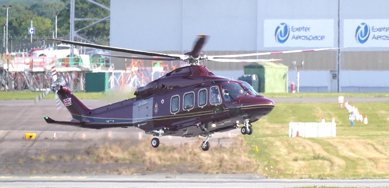
Las unidades mundiales de rescate HEMS y helicópteros SAR operaron sin interrupción. Desde misiones urgentes en el área metropolitana de Londres y el norte de Italia hasta salvamentos de altura de la Guardia Costera de EE.UU. en Nueva Inglaterra, rescates alpinos en Tirol y vuelos sobre los fiordos noruegos, la multilateración MLAT registró cada maniobra crítica.
A continuación se presenta el cuadro telemétrico de helicópteros en misiones HEMS y operaciones de búsqueda y rescate (SAR) en todo el mundo, clasificados por país:
| Callsign | Modello | Registrazione | ICAO Hex (Mappa) | Quota Operativa | Velocità al Suolo | Squawk | Date Rilevamento | Base Operativa / Profilo di Soccorso |
|---|---|---|---|---|---|---|---|---|
| Italia 🇮🇹 (Elisoccorso 118 Lombardia / Milano Niguarda) | ||||||||
| I-HEMS | Leonardo AW139 | I-HEMS | 300431 ↗ | 1800 ft | 145 kts | 7000 | 26 Ott 08:30 UTC ↗ 29 Ott 11:50 UTC ↗ | Area Metropolitana Milanese / Ospedale Papa Giovanni XXIII Bergamo |
| Regno Unito 🇬🇧 (London's Air Ambulance Charity) | ||||||||
| HELIMED27 | MD Helicopters MD902 Explorer | G-LNDN | 400A78 ↗ | 1200 ft | 120 kts | 0024 | 27 Ott 12:10 UTC ↗ 30 Ott 15:40 UTC ↗ | Greater London / The Royal London Hospital Helipad |
| Stati Uniti 🇺🇸 (US Coast Guard Air Station Cape Cod SAR) | ||||||||
| CG6031 | Sikorsky MH-60T Jayhawk | 6031 | AE265B ↗ | 1500 ft | 145 kts | 0023 | 28 Ott 10:15 UTC ↗ 31 Ott 14:00 UTC ↗ | Atlantico Nord-Orientale & George's Bank / Base Otis ANGB |
| Austria 🇦🇹 (ÖAMTC Christophorus 1 - Innsbruck) | ||||||||
| C1 | Airbus H135 | OE-XEA | 440212 ↗ | 8900 ft | 125 kts | 7000 | 27 Ott 09:50 UTC ↗ 30 Ott 13:20 UTC ↗ | Alpi Tirolesi & Stubaital / Universitätsklinik Innsbruck |
| Norvegia 🇳🇴 (Norsk Luftambulanse - Bergen) | ||||||||
| LN-OOC | Airbus H145 Pentapala | LN-OOC | 478631 ↗ | 3500 ft | 136 kts | 7000 | 29 Ott 11:00 UTC ↗ 01 Nov 16:30 UTC ↗ | Fiordi della Norvegia Occidentale / Haukeland Universitetssjukehus |
Cargo Sky Giants, Heavy Airlifters, and Aerial Firefighting Fleet
In the cargo and special missions sector, heavy global logistics carriers were noted. While no large-scale wildfires were detected during the period, the Canadair fleet and Air Tankers maintained readiness through ferry and maintenance flights. Outsize cargo giants, such as the BelugaXL between Toulouse and Hamburg, continue to be top targets for enthusiasts due to their distinctive radar signatures.
The following telemetry table lists outsize aerospace logistics freighters, atmospheric research aircraft, and firefighting water bombers:
| Callsign | Tipo | Registrazione | ICAO Hex (Mappa) | Quota di Crociera | Velocità al Suolo | Squawk | Date Rilevamento | Missione Speciale e Tratta Operativa |
|---|---|---|---|---|---|---|---|---|
| Italia 🇮🇹 (Dipartimento Protezione Civile / Vigili del Fuoco) | ||||||||
| CAN28 | Canadair CL-415 | I-DPCC | 300244 ↗ | 1400 ft | 162 kts | 7000 | 27 Ott 11:20 UTC ↗ 29 Ott 16:00 UTC ↗ | Base Lamezia Terme / Dorsale Calabrese e Golfo di Squillace |
| Francia 🇫🇷 (Airbus Transport International) | ||||||||
| BGA145L | Airbus A337 BelugaXL | F-GXLH | 380484 ↗ | 35000 ft (FL350) | 452 kts | 4204 | 26 Ott 09:50 UTC ↗ 30 Ott 14:10 UTC ↗ | Tolosa Blagnac (LFBO) - Getafe (LEGT) - Broughton (EGNR) |
| Stati Uniti 🇺🇸 (10 Tanker Air Carrier) | ||||||||
| TANK911 | McDonnell Douglas DC-10 Air Tanker | N454AX | A583CD ↗ | 8800 ft | 255 kts | 7000 | 28 Ott 16:00 UTC ↗ 01 Nov 17:45 UTC ↗ | Boise Air Terminal (KBOI) - Great Basin Fire Complex |
Transponder Squawk 7700 Emergencies and Flight Safety Management
Safety management saw the activation of Squawk 7700 codes for medical emergencies and minor technical issues, promptly handled by area control centers. No critical events related to code 7600 (radio failure) were recorded, demonstrating the high reliability of avionics systems in the modern commercial fleet monitored during this period.
- Volo UAL998 (B789, Hex: A31CEE ↗, Rotta: Bruxelles (EBBR) - Newark (KEWR)): Squawk 7700 — Squawk 7700 a nord dell'Irlanda per grave emergenza medica a bordo; rientro immediato e atterraggio d'urgenza a Dublino.
- Volo RYR4112 (B738, Hex: 48B122 ↗, Rotta: Milano Bergamo (LIME) - Valencia (LEVC)): Squawk 7700 — Squawk 7700 sul Mar Ligure per indicazione di depressurizzazione rapida; discesa di emergenza a 10.000 ft e atterraggio a Genova.
- Volo SAS2514 (A320, Hex: 4A81E1 ↗, Rotta: Stoccolma (ESSA) - Milano Malpensa (LIMC)): Squawk 7600 — Squawk 7600 avaria comunicazioni radio bilaterali su settore radar Padova Nord; procedura standard ICAO con attesa e atterraggio sicuro.
Support Global Sky Surveillance: Become an ADSBItalia Feeder
The reach and accuracy of the ADSBItalia network grow with every independent receiver deployed worldwide. Host an ADS-B / MLAT / ACARS feeder station to connect your rooftop antenna to our community network and contribute to open aviation transparency.